

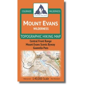
Outdoor Trail Maps Mount Evans Wilderness Map
$21.27
Description
Product Description
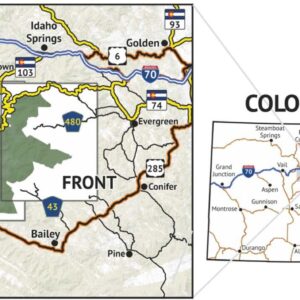
40700043869The Mount Evans Wilderness Topographic Hiking Map shows all of the hiking trails in the Mount Evans Wilderness of the central Front Range of Colorado, with these features:
Waterproof and tear-resistant – designed for on-trail use in harsh conditions
1:40,000 scale (1 in ≈ 0.6 mi)
Smaller size (4″x7″ folded, 27″x19″ unfolded) and light weight – under 2 oz
Trail segment mileages for all trails
Lat-long coordinates for all trailheads and key trail junctions
50 ft contour lines
Accurate, intuitive and easy-to-use
This wilderness area spans 73,000 acres across the central Front Range south of Georgetown.
Reviews (0)
Be the first to review “Outdoor Trail Maps Mount Evans Wilderness Map”
Related products
Sale!


Sale!


Sale!


Sale!


Sale!


Sale!


Sale!


Sale!


Reviews
There are no reviews yet.